Ocean Advisor generates daily predictive species maps for fishing fleets around the world, increasing catch and lowering costs.
We turn your data into a daily call your captains can act on.
We begin with your fishing history and our proprietary data streams.
We use our leading technology to build a custom model for your fishery.
Your captains open the daily maps and set course for the highest-odds zones. Less searching, less fuel, more fishing.
Spend your time on the days and areas most likely to pay off, increasing fleet efficiency and sustainability.
Burn less fuel and spend less time searching for fish.
You benefit from years of foundational research. Our global experience and science get you a working model quickly.
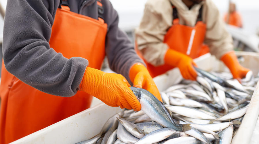
Fuel is a major operating cost for commercial fleets. Sharper targeting helps bring it down.
One platform, three sets of outcomes. Each seat sees the value that matters to them.
Measurable gains in catch, lower costs, and stronger margin.
See how your fleet is performing, and where it can do better.
A sharper edge for your captains.
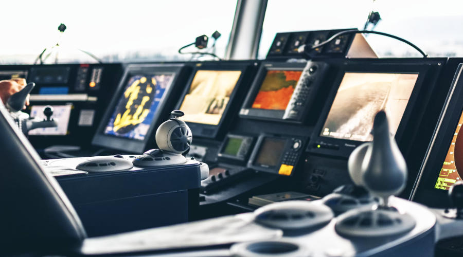
Fishing grounds change with the conditions. Ocean Advisor reads the ocean as it is right now, so your captains fish today's conditions with the instinct they've always trusted and a tool that can see below the surface miles over the horizon.
A sea surface map only shows you the surface. Ocean Advisor predicts what is happening beneath it, using innovative research in geophysics to predict where the fish will be. That is the difference between raw data and a prediction you can act on.
Probability science adapted from decades of subsurface exploration.
Species specific heat maps refreshed every day across your regions.
Herring, mackerel, cod and more, modeled independently.
Predictions for fishing grounds worldwide.
A clearer view of how targeting affects performance over time.
Hands on setup and a direct line to the science team.
Ocean Advisor was founded by Dr. Richard Wright, a geophysicist with over 20 years in oil and gas exploration, and more than 50 published papers.
He leads a team drawn from top research institutions and leading technology companies, with backgrounds in geophysics, physics, chemistry, and machine learning. The same science used to find energy miles beneath the seabed, they realized, can predict where fish gather above it. That scientific depth is what sets Ocean Advisor apart. Most tools hand you ocean data. We model the physics behind it.
Meet the teamYour data is the only data that shapes your predictions. It's never shared, never sold, and never used to sharpen another fleet's edge.
Your catch, vessel, and route data are never disclosed to third parties, partners, or other fleets.
We build your model from your logs in your ocean areas. No other fleet's data ever shapes your predictions.
You keep full ownership of your data, and the advantage it creates stays with you.
Tell us where your fleet fishes. We'll show you what predictive targeting could look like for your operation.
Book a DemoJust have a question? Send us a message
